Not going to lie, this was a tough day.
Not because the route was challenging – elevation gain was minor (for the first time there was more down than up) and it was only 17 km (10.5 miles). But it was cold, rainy, windy and muddy AF for the first half of the trek, which wasn’t fun.
On the bright side, I managed to buy a pair of pliers and fix my broken hiking pole before leaving Nasbinals.
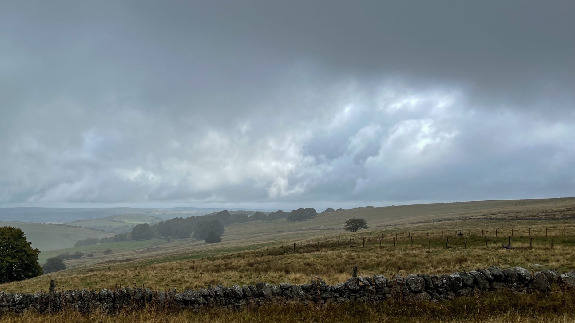
This segment of the Via Podiensis is classified as a natural heritage by UNESCO. The first part of the trail follows what must have started as a cart track up and over the hills, through several cow pastures. Great views (see featured image, above) despite the rain, which wouldn’t have been that bad on its own, but there was a harsh wind whipping it around and no shelter in the pastures.
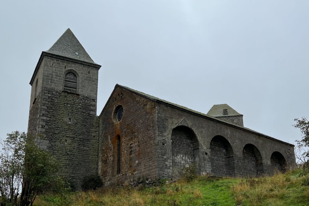
About halfway, the trail reaches the village of Aubrac, which dates back to the Middle Ages. The historic monument La Dômerie d’Aubrac was founded in 1120 as a refuge hospital.
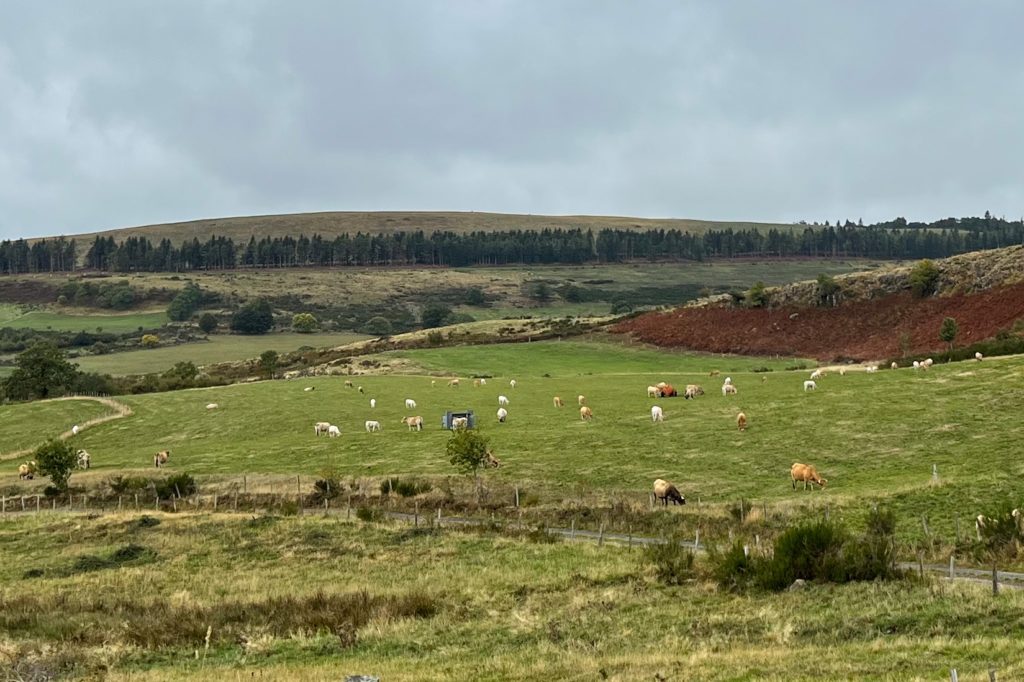
The Aubrac plateau geology varies from the granite I walked through yesterday to the volcanic region today. The higher points get snow in winter. And there are a lot of cows – there is even an Aubrac breed of cow.
The village of Aubrac was the highest point on the trail, and after that was a gentle downhill to Saint-Chély-d’Aubrac that was mostly sheltered by trees – a nice respite from the earlier wind, though the rain had continued throughout the day.

3 Comments
Add Yours →Please tip over the loud and aggressive looking cow. It’s Sunny.
Fun fact: I call all the cows Sunny when I pass them and say hello.
Haha she would love that.