I’ve been using AllTrails for maps and to track my progress each hike. Usually it works pretty well. Sometimes the Chemin trail markers diverge from the AllTrails map for a short bit. Today was more of a “Go home, AllTrails – you’re drunk!” kind of day, where the trail markers looked more sensible (read: less walking along the side of active roads) and AllTrails tried to tell me I was off-route most of the day.
So AllTrails thinks I did 28.5 km (17.7 miles), but based on the trail signs, it was more like 31 km (19.3 miles).
I’m feeling Every. Fucking. One. Oof.
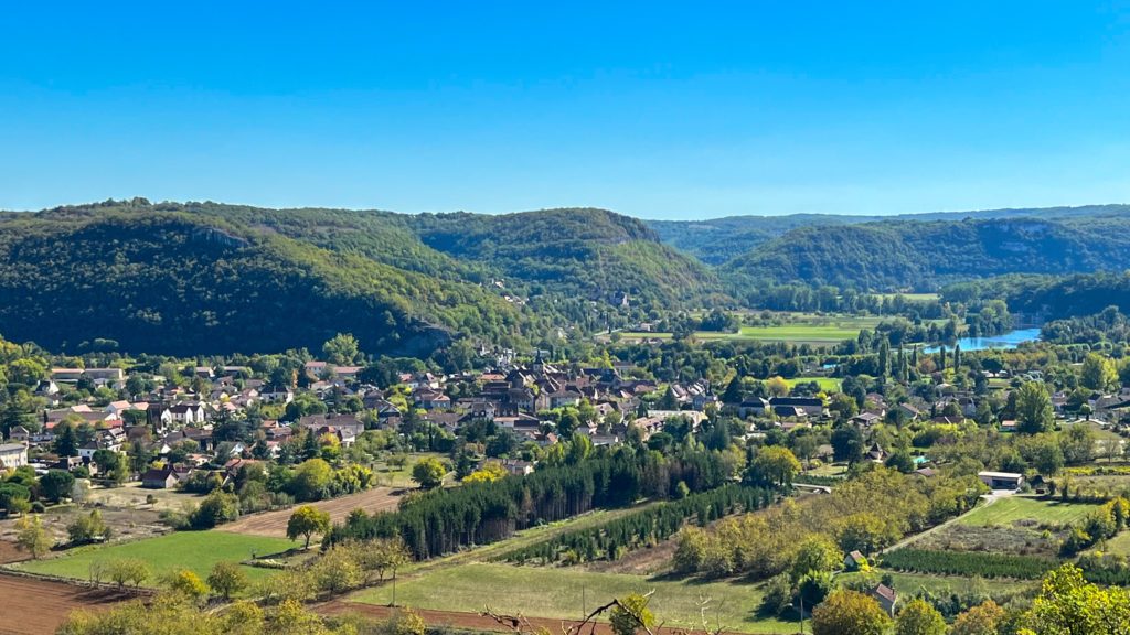
I was climbing out of Figeac before sunrise – lots of up, but not too steep. I limped into Carjac almost 8 hours later. I don’t know why, but the last couple miles always seem to be steep downhill segments of loose rock – right when my feet feel like bricks. This is the ridge I descended.
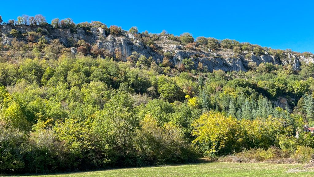
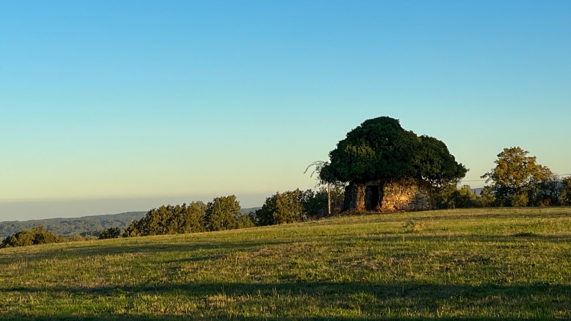
Anyway… much of the trail today wound through the Causses du Quercy Regional Park, a series of limestone plateaus covered in dry grasslands and oak forests. There are many dry stone walls and huts (casselles). These structures are scattered along the route.
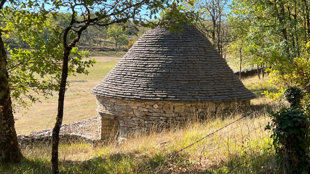
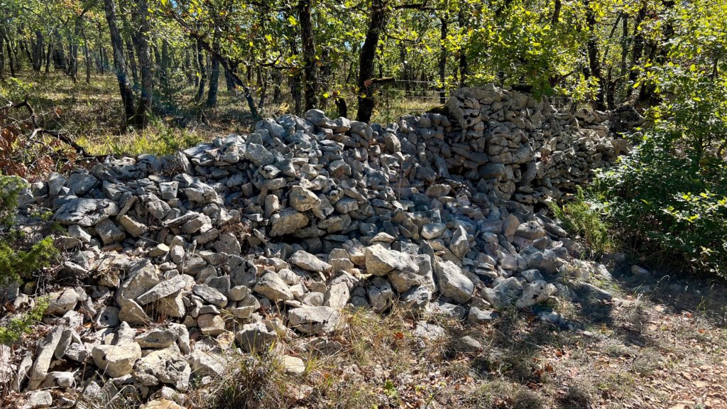
The fences were created from stones that were cleared from farmland or pasture. But the limestone doesn’t have the same durability of the granite fences I passed earlier in the hike, so there are a lot that looked more like limestone piles.
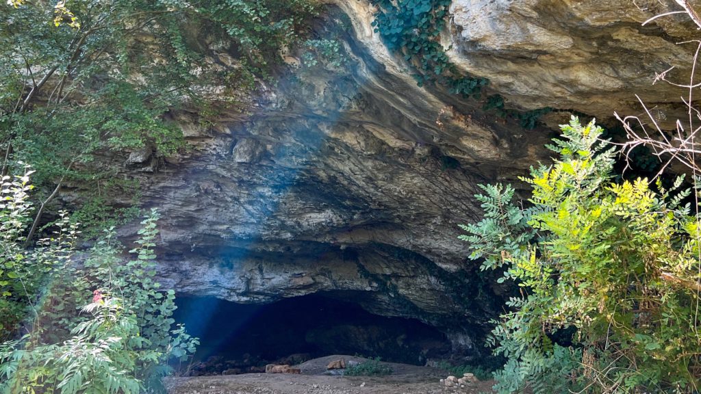
Another facet of the limestone is that there are many caves that have been carved out of the rock by water, such as this one I passed on the way down to Cajarc.
I haven’t seen much of Cajarc since I am barely walking at the moment, but it looks very scenic from the top of the ridge. I believe the trail winds through the town centre before climbing out of the valley again, so I hope to have a chance to check it out tomorrow.
4 Comments
Add Yours →Keep it up! You are killing it.
I think more likely that it’s killing me, but thank you!
I’m enjoying reading and seeing your journey, Shannon!
Thanks Stephen! Looking forward to catching up with you again when I get back.